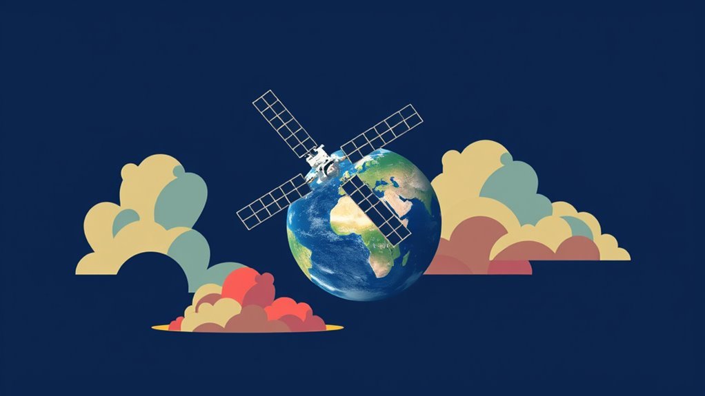
Satellite and radar technology plays a crucial role in tracking squalls by providing real-time data on atmospheric conditions and precipitation. Satellites improve weather monitoring through continuous observation and advanced imaging, while radar systems offer detailed perspectives into storm dynamics and wind velocities. The integration of these technologies enhances forecasting accuracy and emergency preparedness, finally ensuring better public safety. Further exploration reveals the evolving trends in meteorological science that continue to shape squall prediction capabilities.
Main Points
- Satellite technology provides continuous monitoring of squalls, enhancing real-time data collection and forecasting accuracy.
- Advanced sensors on satellites enable detailed atmospheric observations, improving understanding of squall formation.
- Radar systems deliver real-time data on precipitation type and intensity, crucial for timely severe weather detection.
- Integration of satellite and radar data enhances predictive models, improving situational awareness during squall events.
- Continuous advancements in meteorological technology are essential for effective disaster preparedness and response strategies.
Understanding Squalls: Definition and Characteristics
Squalls are sudden, sharp increases in wind speed, often accompanied by precipitation, that can pose considerable risks to both maritime and terrestrial activities. These weather phenomena typically occur in association with thunderstorms or frontal passages, leading to drastic shifts in weather conditions within a short time frame.
Characteristically, squalls can be identified by their rapid onset, which can result in gusty winds reaching up to 50 knots or more. The accompanying precipitation can vary from light rain to heavy downpours, often obscuring visibility and creating hazardous conditions.
Squalls are also marked by their transient nature, usually lasting from a few minutes to an hour. Their unpredictable behavior makes them challenging to forecast, emphasizing the importance of timely warnings for those who may be affected.
Understanding the characteristics of squalls is essential for effective response strategies in both maritime navigation and land-based activities, ensuring safety and preparedness in the face of these swift weather changes.
The Evolution of Satellite Technology in Meteorology
The evolution of satellite technology in meteorology has markedly transformed weather observation and forecasting.
Early satellite innovations laid the groundwork for more sophisticated systems, while advances in imaging techniques have improved the ability to monitor atmospheric conditions.
These developments have proven vital in tracking squalls and improving all-encompassing meteorological accuracy.
Early Satellite Innovations
Advancements in satellite technology have revolutionized meteorology, providing groundbreaking understandings into atmospheric phenomena. The early innovations in satellite systems marked a notable shift in weather observation and forecasting. Initially, satellites were designed to capture basic images of cloud cover, but they quickly evolved to gather critical atmospheric data.
- Pioneering satellites, such as TIROS, launched in the early 1960s, initiated continuous monitoring of weather patterns.
- The introduction of geostationary satellites allowed for real-time data collection, enhancing predictive capabilities.
- Early remote sensing technologies began to reveal the intricacies of squall formation, clearing the path for improved storm tracking models.
These advancements laid the foundation for future developments in meteorological satellite technology, greatly enhancing weather forecasting accuracy.
Advances in Imaging Techniques
Imaging techniques have undergone substantial transformation, further improving the capabilities of meteorological satellites. The introduction of advanced sensors and higher-resolution imaging has greatly enhanced the accuracy of weather predictions.
Significantly, multispectral and hyperspectral imaging allows for detailed observations of atmospheric conditions, including temperature and moisture content. These innovations enable meteorologists to detect squalls and other severe weather events earlier and more reliably.
Additionally, the integration of geostationary and polar-orbiting satellites provides continuous monitoring, capturing rapid changes in weather patterns. Improved data processing algorithms also promote real-time analysis, aiding in timely warnings and responses.
As imaging technology continues to evolve, its impact on meteorology, particularly in tracking squalls, will only strengthen, supporting more effective disaster preparedness and response efforts.
How Radar Systems Enhance Weather Monitoring
Numerous radar systems play an essential role in enhancing weather monitoring by providing real-time data on atmospheric conditions.
These systems utilize various technologies to detect precipitation, wind patterns, and storm movement, enabling meteorologists to make informed decisions. By offering high-resolution imagery and continuous updates, radar systems markedly improve the accuracy of weather forecasts.
- Precipitation Detection: Radar can identify the type and intensity of precipitation, helping to differentiate between rain, snow, or hail.
- Storm Tracking: Continuous monitoring allows for the timely detection of severe weather events, such as squalls or thunderstorms, reducing potential risks.
- Wind Analysis: Doppler radar technology assesses wind velocities, providing vital information for understanding storm dynamics and potential tornado formation.
Together, these capabilities make radar systems indispensable tools for meteorologists, enhancing public safety and preparedness during extreme weather events.
Integrating Satellite and Radar Data for Improved Forecasting

Integrating satellite and radar data represents a notable advancement in weather forecasting.
By employing data fusion techniques, meteorologists can improve prediction models, leading to more accurate and timely squall forecasts.
This collaboration not only boosts situational awareness but also aids in effective decision-making during severe weather events.
Data Fusion Techniques
Although each technology offers unique strengths, the combination of satellite and radar data through advanced data fusion techniques greatly boosts weather forecasting capabilities.
By integrating the extensive observational reach of satellites with the high-resolution data provided by radar, meteorologists can create a more thorough view of squall development and movement. This fusion improves situational awareness, leading to more accurate predictions and timely warnings.
- Improved accuracy: Data fusion minimizes discrepancies between satellite and radar readings.
- Enhanced monitoring: Continuous updates from both sources allow for real-time tracking of squalls.
- Better resource allocation: Accurate forecasts enable emergency services to prepare and respond effectively to severe weather events.
Enhanced Prediction Models
Improved prediction models utilize the supplementary strengths of satellite and radar data to provide meteorologists with more precise forecasts of squalls.
By integrating real-time observations from satellites, which offer broad coverage of atmospheric conditions, with high-resolution data from radar systems, these models boost situational awareness and predictive capabilities.
The combination allows for the identification of squall characteristics, such as intensity and movement, with greater accuracy.
Additionally, advanced algorithms analyze this data to refine predictions, enabling timely warnings for affected regions.
The collaboration between satellite and radar technology not only promotes better understanding of squall dynamics but also notably enhances the reliability of forecasts, ultimately aiding in disaster preparedness and response efforts.
Case Studies: Successful Squall Predictions

Predictive accuracy in meteorology has been remarkably improved through the successful application of satellite and radar technology in tracking squalls. Remarkable case studies highlight the notable advancements made in forecasting these severe weather events.
For instance, during a summer squall outbreak, radar systems provided real-time data that enabled meteorologists to issue timely warnings, potentially saving lives and minimizing property damage. Similarly, satellite imagery has played an essential role in monitoring the development of squall lines, allowing for more precise predictions.
- Improved real-time data collection boosts the speed of warnings.
- Increased accuracy reduces the impact on communities by promoting preparedness.
- Collaborative efforts between meteorological agencies utilize technology for better outcomes.
These case studies exemplify how the integration of satellite and radar technology is not only transforming squall prediction but also improving public safety.
The Impact of Climate Change on Squall Activity
The impact of climate change on squall activity is becoming increasingly evident as shifting atmospheric conditions alter weather patterns worldwide. Research indicates that rising global temperatures contribute to improved moisture levels in the atmosphere, which can intensify squall storms. Warmer air holds more water vapor, creating conditions conducive to more powerful and frequent squalls.
Additionally, altering wind patterns disrupt traditional squall formation processes, leading to unpredictable storm behavior. Regions previously less affected by squalls may experience increased instances, while areas historically prone to these storms could see changes in their intensity and duration.
Moreover, the frequency of extreme weather events is expected to rise, complicating forecasting efforts. The interplay between climate change and squall activity highlights the necessity for updated predictive models to account for these evolving trends.
Understanding this relationship is vital for effective disaster preparedness and response strategies in a changing climate.
Future Innovations in Weather Tracking Technologies
Advancements in weather tracking technologies are poised to improve the accuracy and efficiency of squall forecasting. Emerging innovations, such as improved satellite imaging and artificial intelligence algorithms, are set to revolutionize the field.
These technologies will enable meteorologists to analyze extensive amounts of data with unmatched precision, leading to more reliable predictions.
- AI-Driven Predictive Models: Leveraging machine learning to identify patterns and predict squall formation.
- Next-Generation Radars: Incorporating phased array radar systems to provide real-time data and improved resolution.
- Integrated Sensor Networks: Utilizing a combination of ground-based and aerial sensors for thorough environmental monitoring.
These innovations will not only improve forecasting capabilities but also contribute to better preparedness and response strategies, ultimately reducing the impact of squalls on communities and infrastructure.
As these technologies develop, they promise to transform the environment of meteorological science.
Common Questions
How Do Squalls Differ From Other Storm Types?
Squalls are distinct from other storm types due to their sudden onset, short duration, and intense wind gusts, often leading to rapid changes in weather conditions, unlike longer-lasting systems such as hurricanes or frontal storms.
What Are the Limitations of Satellite Technology for Squall Tracking?
The limitations of satellite technology for squall tracking include restricted resolution during rapid development, challenges in detecting small-scale features, and difficulties in differentiating between squalls and other meteorological phenomena, potentially leading to inaccurate forecasts.
How Frequently Are Squall Predictions Updated?
Squall predictions are updated frequently, typically every hour, to incorporate the latest meteorological data. This allows meteorologists to refine forecasts and improve accuracy, providing timely information for those affected by potential squall conditions.
What Role Do Human Meteorologists Play in Squall Tracking?
Human meteorologists analyze data from various sources, interpreting complex weather patterns to issue timely alerts. Their knowledge improves automated systems, ensuring accurate forecasting and effective communication to the public regarding squall developments and potential impacts.
Can Squalls Affect Air Travel Safety Directly?
Squalls can greatly affect air travel safety by causing sudden turbulence, reducing visibility, and creating hazardous landing conditions. Pilots and air traffic controllers must remain vigilant to mitigate risks associated with these unpredictable weather phenomena.