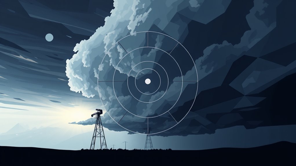
Doppler radar plays an essential role in identifying severe squall lines by providing real-time atmospheric data. It employs the Doppler effect to measure changes in frequency, detecting precipitation intensity and types. This technology analyzes wind velocities, offering perspectives into storm dynamics and potential tornadic activity. Continuous monitoring improves predictive modeling, increasing forecast accuracy and lead times for warnings. The advancements in Doppler systems further strengthen severe weather preparedness. Additional details reveal more about its impact on storm tracking and public safety.
Main Points
- Doppler radar detects precipitation intensity and movement, crucial for identifying squall lines' development and behavior.
- It analyzes wind velocities, revealing rotation and potential tornadic activity within squall lines.
- Real-time monitoring enables timely updates on storm dynamics, enhancing severe weather prediction accuracy.
- Dual-polarization technology improves identification of hydrometeors, aiding in the differentiation of precipitation types.
- Continuous Doppler data integration with predictive models enhances storm tracking and warning lead times.
Understanding Doppler Radar Technology
Doppler radar technology serves as an essential tool in meteorology, providing real-time data on atmospheric conditions. This advanced system utilizes the Doppler effect, which measures changes in frequency or wavelength of radio waves reflected off moving objects, such as precipitation particles.
By transmitting microwave signals and analyzing the returned echoes, meteorologists can determine the speed and direction of weather systems. Doppler radar can differentiate between various types of precipitation, aiding in the identification of storm intensity and movement.
Moreover, it improves the understanding of wind patterns within storms, which is vital for forecasting severe weather events. The technology has evolved, with dual-polarization radar offering enhanced data on precipitation types and structure.
Doppler radar's ability to provide timely information plays an important role in severe weather warnings, ultimately assisting in public safety and preparedness during extreme meteorological phenomena.
How Doppler Radar Detects Precipitation
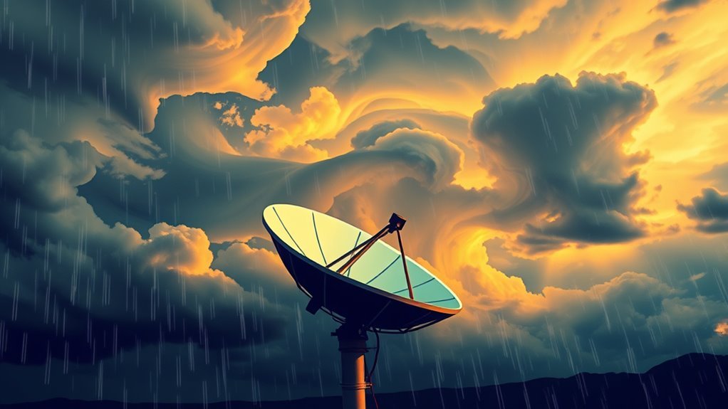
The detection of precipitation by radar systems relies on the analysis of reflected microwave signals. Doppler radar emits microwave radiation that interacts with hydrometeors, such as raindrops, snowflakes, or hail. When these particles scatter the emitted signals, a portion of the energy is reflected back to the radar's receiving system.
The strength of the returned signal indicates the intensity of the precipitation, while the frequency shift provides information about the movement of the particles.
Radar systems can identify various types of precipitation, including light rain, heavy downpours, and even severe weather phenomena like hail or thunderstorms. By analyzing the returned signals, meteorologists can create detailed images known as reflectivity maps, which demonstrate the distribution and concentration of precipitation over a given area.
This capability allows for timely and accurate weather forecasts, essential for public safety and preparedness during severe weather events.
Analyzing Wind Velocities With Doppler Radar
In the study of severe squall lines, analyzing wind velocities using Doppler radar is vital for understanding storm dynamics.
By employing techniques such as Velocity Azimuth Display and Doppler Shift Analysis, meteorologists can obtain precise measurements of wind speed and direction.
These data points are essential for predicting severe weather events and evaluating their potential impacts.
Wind Velocity Measurements
Accurate wind velocity measurements are essential for understanding severe weather phenomena, particularly squall lines.
Doppler radar technology plays a crucial role in capturing these measurements by sending out radio waves that reflect off precipitation particles. The shift in frequency of the returned signals indicates the speed and direction of wind.
This capability allows meteorologists to analyze wind patterns, identifying areas of rotation and potential tornadic activity within squall lines. By evaluating these wind velocity data, forecasters can better predict the intensity and movement of severe storms, enhancing warning systems and public safety measures.
Ultimately, precise wind velocity measurements contribute greatly to the comprehensive understanding and forecasting of severe weather events associated with squall lines.
Velocity Azimuth Display
Velocity Azimuth Display (VAD) techniques augment the analysis of wind velocities captured by Doppler radar. This method utilizes the radial velocity data collected at various angles to generate a thorough representation of wind patterns in a specific area.
By integrating the azimuthal angles and radial velocities, VAD provides meteorologists with crucial information about wind direction and speed, which is essential for understanding storm dynamics, especially in severe squall lines.
The visual output allows for easier interpretation of wind shear and rotation, aiding in the identification of potentially dangerous weather phenomena. Consequently, VAD boosts situational awareness and supports timely decision-making in weather forecasting and severe storm warnings.
Doppler Shift Analysis
While Doppler radar is widely acknowledged for its ability to measure precipitation, it also plays an essential role in analyzing wind velocities through Doppler shift analysis. This method utilizes the frequency change of radar waves reflected from moving particles, allowing meteorologists to determine wind speed and direction.
Accurate wind velocity data is vital for understanding squall lines, as it helps predict their intensity and potential hazards.
Key aspects of Doppler shift analysis include:
- Measurement of radial velocity, indicating how quickly an object moves toward or away from the radar.
- Detection of wind shear, which can lead to severe weather conditions.
- Identification of rotation within storm systems, essential for tornado detection.
- Real-time data processing, enhancing immediate decision-making for weather warnings.
The Formation of Squall Lines

The formation of squall lines is influenced by specific meteorological conditions that create the necessary environment for their development.
Understanding the lifecycle stages of these systems is essential for predicting their behavior and potential impact.
Meteorological Conditions Required
Several key meteorological conditions contribute to the formation of squall lines, which are narrow bands of severe thunderstorms. These conditions create an environment conducive to the development of intense convective systems.
- Warm, moist air: Crucial for providing the necessary energy for thunderstorm development.
- Cold front: Acts as a lifting mechanism, forcing the warm air upward to form clouds and precipitation.
- Wind shear: Variation in wind speed and direction with height helps to organize and sustain storm systems.
- Instability: A condition where warm air at the surface rises rapidly, encouraging intense updrafts essential for squall line formation.
Understanding these meteorological prerequisites is fundamental for predicting and monitoring severe squall lines effectively.
Lifecycle Stages Explained
As warm, moist air rises and interacts with a cold front, the lifecycle of a squall line begins. This process initiates the formation of a line of thunderstorms defined by strong winds and heavy precipitation.
The first stage, known as the "developing stage," involves the rapid ascent of air, leading to the formation of towering cumulonimbus clouds.
Subsequently, the "mature stage" occurs, where the squall line reaches its peak intensity, producing severe weather phenomena, including hail and tornadoes.
Finally, in the "dissipating stage," downdrafts dominate, causing the storm to weaken and rainfall to diminish.
Understanding these lifecycle stages is vital for meteorologists, as it aids in forecasting and issuing timely warnings for severe weather events associated with squall lines.
Real-Time Monitoring and Forecasting Capabilities
Real-time monitoring and forecasting capabilities are essential for understanding and predicting severe squall lines. Doppler radar plays a crucial role in enhancing these capabilities, allowing meteorologists to observe storm dynamics as they unfold. This technology not only aids in immediate response but also promotes advanced planning for severe weather events.
Key aspects of real-time monitoring and forecasting include:
- Rapid Data Collection: Continuous updates provide timely information on storm development.
- High-Resolution Imagery: Detailed visualizations help identify specific features within squall lines.
- Velocity Measurements: Wind speeds and directions can be precisely gauged, enhancing understanding of storm intensity.
- Predictive Modeling: Integration of Doppler data into models improves forecast accuracy and lead time for warnings.
Advancements in Doppler Radar Systems
While traditional Doppler radar systems have markedly advanced meteorological observations, recent technological innovations have further boosted their capabilities.
Modern radar systems incorporate phased array technology, allowing for rapid scanning and improved resolution. This enables meteorologists to detect smaller-scale phenomena within severe squall lines, providing vital data on wind patterns and precipitation intensity.
Additionally, advances in signal processing algorithms have greatly improved the accuracy of velocity measurements, facilitating more precise assessments of storm dynamics.
Dual-polarization radar technology has also emerged, offering better identification of hydrometeors, such as rain, snow, and hail. This capability aids in better understanding the structure and behavior of severe weather systems.
Furthermore, integration with satellite imagery and ground-based observational networks enriches data richness, allowing for more thorough storm analysis.
Collectively, these advancements in Doppler radar systems are transforming the domain of severe weather detection and forecasting, ultimately enhancing situational awareness for meteorologists and emergency responders.
The Impact of Doppler Radar on Severe Weather Preparedness
Doppler radar has greatly transformed severe weather preparedness by providing timely and accurate data essential for decision-making. This technology allows meteorologists to monitor storm systems with unparalleled detail, leading to improved forecasting and early warnings.
As a result, communities can better prepare for severe weather events, mitigating potential damage and loss of life.
Key impacts of Doppler radar on severe weather preparedness include:
- Enhanced Forecasting: Increased accuracy in predicting storm paths and intensities.
- Timely Alerts: Rapid dissemination of warnings to affected regions, allowing for proactive measures.
- Informed Decision-Making: Emergency services can allocate resources more effectively based on real-time data.
- Public Awareness: Improved communication of risks cultivates a culture of preparedness among residents.
These factors collectively contribute to a more resilient society in the face of severe weather, underscoring the critical role of Doppler radar in modern meteorology.
Common Questions
How Does Doppler Radar Differ From Traditional Radar Systems?
Doppler radar distinguishes itself from traditional radar systems by measuring the frequency shift of returned signals. This capability allows it to provide detailed information about the motion of precipitation, enhancing weather forecasting and storm tracking accuracy.
What Are the Limitations of Doppler Radar in Severe Weather Detection?
Doppler radar, while effective in detecting severe weather, faces limitations such as range restrictions, reduced accuracy in complex terrain, interference from precipitation, and challenges in identifying weak signatures, which can hinder timely warnings and response efforts.
Can Doppler Radar Predict Tornadoes Within Squall Lines?
Doppler radar can indicate conditions conducive to tornado formation within squall lines, but it struggles with precise tornado predictions. Its effectiveness relies on interpreting velocity data, with limitations regarding detection in rapidly evolving storm systems.
How Does Geography Affect Doppler Radar Effectiveness?
Geography greatly influences Doppler radar effectiveness, as factors like terrain, elevation, and urban structures can obstruct radar signals. Mountainous regions may impede coverage, while open areas generally allow for clearer data collection and accurate weather monitoring.
Are There Alternative Technologies to Doppler Radar for Severe Weather Detection?
Various alternative technologies exist for severe weather detection, including satellite imagery, lightning detection systems, and weather balloons. Each method has distinct advantages and limitations, contributing to a thorough understanding of atmospheric conditions and storm development.