Squalls improve tornado formation through rapid wind and pressure changes in the atmosphere. When squalls develop, they create notable wind shear as warm, moist air interacts with cooler, drier air. This interaction promotes the formation of rotating updrafts or mesocyclones within supercell thunderstorms. Additionally, pressure drops associated with squalls establish favorable conditions for severe weather phenomena, increasing the likelihood of tornado genesis. Understanding these dynamics reveals further knowledge into tornado forecasting and preparation.
Main Points
- Squalls cause rapid drops in atmospheric pressure, creating favorable conditions for severe weather and tornado formation.
- The collision of warm, moist air with cooler, drier air enhances wind shear, essential for tornado development.
- Squall lines generate localized low-pressure areas that increase atmospheric instability, heightening the likelihood of tornado genesis.
- Enhanced rotation within storm systems occurs as squalls promote the development of mesocyclones, which are critical to tornado formation.
- Monitoring squalls using advanced radar technology allows for improved forecasting of tornado potential by tracking wind and pressure changes in real-time.
Understanding Squalls: Definition and Characteristics
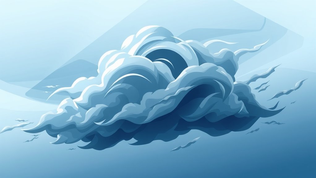
Squalls are intense bursts of wind and precipitation that can greatly impact weather conditions. These phenomena often arise from severe thunderstorms or frontal systems, distinguished by rapid changes in wind speed and direction.
Typically, squalls manifest as sudden, localized storms that can produce heavy rain, hail, and even lightning. The wind associated with squalls can increase dramatically, sometimes exceeding 50 knots, leading to dangerous conditions for both land and maritime activities.
Squalls are most common during the spring and summer months when atmospheric instability is prevalent. Their formation is tied to the collision of warm and cold air masses, creating turbulence and instability.
The duration of a squall is generally short-lived, often lasting only a few minutes to an hour. Despite their brief nature, the effects can be significant, causing sudden drops in visibility and posing risks to life and property, especially in vulnerable areas.
The Role of Wind Patterns in Tornado Development
When varying wind patterns collide, they can create the necessary conditions for tornado development. These collisions typically occur when warm, moist air from the ground meets cooler, drier air aloft.
The interaction between these differing air masses can generate notable wind shear, which is a change in wind speed and direction with altitude. This shear is essential as it helps establish rotation within the storm system.
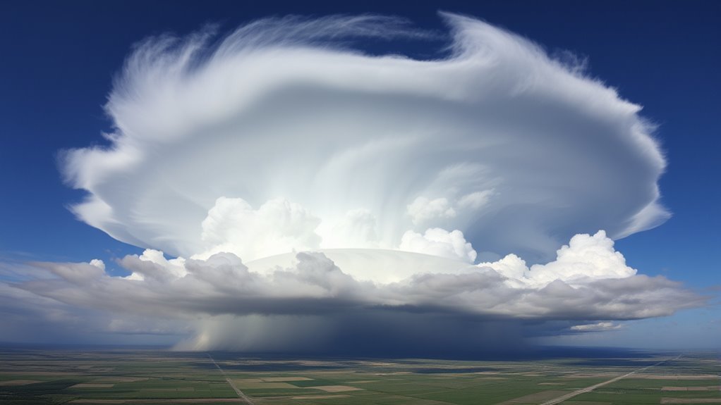
As the winds converge, a rotating updraft, known as a mesocyclone, can form within the supercell thunderstorm. The stronger the wind patterns are, the more pronounced the rotation becomes, increasing the likelihood of tornado formation.
Additionally, the presence of low-level jet streams can further improve these dynamics, providing additional lift and energy.
In the end, the interplay of these wind patterns serves as a fundamental mechanism in the complex process that leads to tornado genesis.
Atmospheric Pressure Changes During Squalls
As atmospheric conditions shift rapidly, considerable changes in pressure often accompany squalls. The onset of a squall typically brings a noticeable drop in atmospheric pressure, which can be attributed to the violent uplift of air. This pressure decrease is an important factor, as it creates a favorable environment for the development of severe weather phenomena, including tornadoes.
During the squall's progression, the pressure may fluctuate markedly, leading to the formation of intense wind shear. This variability can improve the rotational dynamics within the atmosphere, further contributing to tornado potential.
The rapid pressure changes also influence moisture levels and temperature gradients, which are essential components in storm development.
Understanding these atmospheric pressure shifts during squalls is essential, as they play a critical role in triggering conditions that can lead to tornado formation, emphasizing the complex relationship between squalls and severe weather events.
The Interaction Between Squalls and Existing Weather Systems
The interaction between squalls and existing weather systems is essential for understanding their dynamics.
Squall lines can create substantial pressure gradients that influence surrounding atmospheric conditions.
These changes often lead to the development of severe weather phenomena, including tornadoes.
Squall Line Dynamics
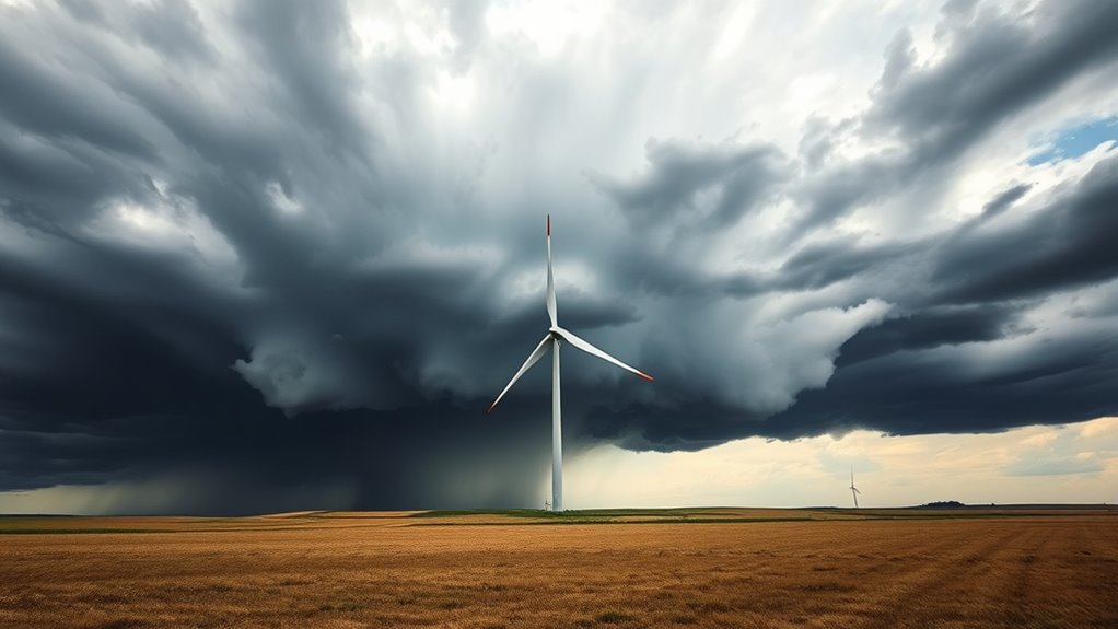
Squall lines represent a complex interplay between advancing storm systems and pre-existing weather patterns. These lines often form along cold fronts, where warm, moist air is lifted over cooler air, creating dynamic conditions conducive to severe weather.
As squall lines advance, they can interact with existing weather systems, enhancing local wind shear and altering temperature gradients. This interaction can intensify thunderstorms, increasing their potential for rotation.
Additionally, the convergence of different air masses along the squall line can lead to localized areas of low pressure, further contributing to the instability of the atmosphere.
Understanding these dynamics is essential, as they play a major role in the development of severe weather phenomena, including tornadoes, particularly in the United States.
Pressure Gradient Influence
When squall lines interact with existing weather systems, the resulting pressure gradients can greatly influence local atmospheric conditions.
These gradients often lead to rapid shifts in wind direction and intensity, creating an unstable environment conducive to severe weather. As the squall line approaches, it can induce a drop in surface pressure, which intensifies the surrounding wind patterns.
This interaction can improve the vertical wind shear necessary for tornado formation. Additionally, the convergence of warm, moist air ahead of the squall line with cooler, drier air behind it can further destabilize the atmosphere.
Consequently, the pressure differences not only trigger severe thunderstorms but also increase the likelihood of tornadic activity, underscoring the critical role of pressure gradients in severe weather dynamics.
Case Studies: Squalls Preceding Notable Tornadoes
Case studies of historical tornado events reveal a substantial correlation between squall lines and tornado formation.
Analyzing the dynamics of these squall lines provides understanding into the conditions that precede remarkable tornado occurrences.
Understanding these relationships can improve forecasting and preparedness efforts in affected regions.
Historical Tornado Events
Numerous historical tornado events have demonstrated a substantial correlation between squall lines and tornado formation.
One notable case is the 1974 Super Outbreak, where multiple tornadoes formed in association with a powerful squall line across the Midwest. Observers noted that the rapid changes in wind direction and pressure associated with the squall line intensified the atmospheric instability, contributing to the development of tornadoes.
Similarly, the 2011 Joplin tornado occurred after a squall line moved through the area, leading to the rapid escalation of storm conditions.
These examples underscore the critical role squalls can play in the genesis of tornadoes, highlighting their importance in meteorological studies and severe weather forecasting.
Understanding these historical events can improve preparedness for future tornado threats.
Squall Line Dynamics
The dynamics of squall lines play an essential role in the development of severe weather phenomena, particularly tornadoes. Case studies reveal that squall lines often precede notable tornado outbreaks, creating conditions conducive to rapid atmospheric changes.
For instance, the 2011 Joplin tornado was preceded by a well-defined squall line that intensified due to wind shear and instability. Similarly, the 1974 Super Outbreak showcased multiple tornadoes forming along squall lines, where the interaction of cold and warm air masses led to considerable pressure drops.
These scenarios illustrate how squall lines can organize atmospheric forces, enhancing the potential for tornado formation. Understanding these dynamics is vital for meteorologists in predicting and mitigating the impact of severe weather events.
Predicting Tornado Formation: The Importance of Squall Monitoring
Although squalls are often overlooked in weather forecasting, their monitoring plays an essential role in predicting tornado formation. These sudden wind shifts and pressure changes can create the necessary conditions for tornadoes to develop.
Meteorologists have identified that squall lines, marked by severe thunderstorms, can trigger rotation in the atmosphere, increasing the likelihood of tornado genesis.
By closely observing squall dynamics, forecasters can better assess the stability of the atmosphere and identify areas where tornadoes are more probable.
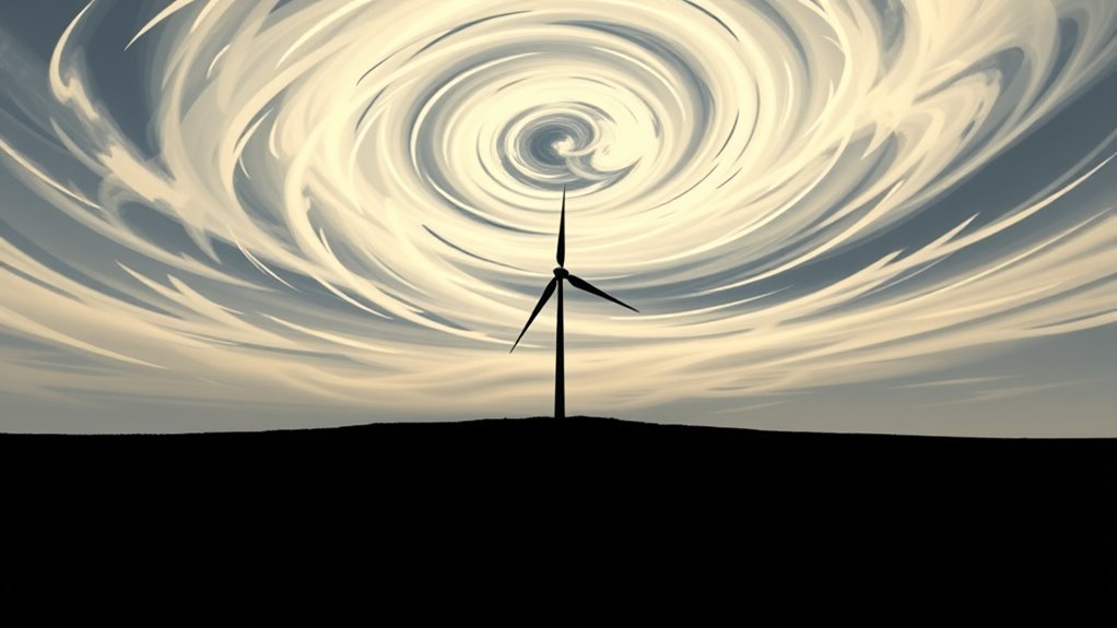
Advanced radar technology, including Doppler radar, allows for real-time tracking of squalls, providing vital data about wind patterns and precipitation intensity.
Understanding the relationship between squalls and tornado formation improves predictive accuracy.
As the climate continues to evolve, incorporating squall monitoring into broader forecasting strategies is essential for improving early warning systems and ultimately reducing the risks associated with tornado outbreaks.
Enhancing Safety: Preparing for Tornadoes Associated With Squalls
When squalls threaten to spawn tornadoes, preparedness becomes vital for minimizing risks to life and property. Individuals and communities must develop emergency plans that include safe shelter locations, ideally in basements or interior rooms away from windows.
It is essential to have a reliable weather radio or mobile alerts to receive real-time updates about storm developments.
Additionally, maintaining an emergency kit stocked with necessary supplies, such as water, non-perishable food, flashlights, and first aid items, can greatly improve safety during severe weather events.
Communities should engage in regular tornado drills to guarantee that residents are familiar with safety protocols.
Finally, local authorities should maintain effective communication channels to disseminate warnings and guidance.
Common Questions
What Is the Difference Between a Squall and a Thunderstorm?
A squall is defined by sudden, intense winds often accompanying precipitation, while a thunderstorm involves rain, thunder, and lightning. Squalls can occur independently or as part of a thunderstorm's dynamics, impacting weather conditions greatly.
Can Squalls Occur Without Tornadoes?
Squalls can indeed occur without tornadoes. They are defined by sudden increases in wind speed and can produce heavy rain or thunderstorms, but not all squalls lead to the formation of tornadoes or severe weather.
How Can I Identify a Squall Line?
To identify a squall line, one should look for a narrow band of thunderstorms, often marked by heavy rain, strong winds, and a noticeable temperature drop. These features typically indicate a considerable weather disturbance approaching.
Are Squalls More Common in Certain Seasons?
Squalls tend to be more prevalent during certain seasons, particularly spring and summer. Atmospheric conditions, such as increased warmth and moisture, create an environment conducive to the formation of squall lines, leading to frequent occurrences during these times.
What Safety Measures Should I Take During a Squall?
During a squall, individuals should seek shelter indoors, stay away from windows, and remain informed through weather alerts. It is essential to have an emergency kit ready and plan evacuation routes in advance for safety.