
Snow squalls and lake effect snow differ in intensity and duration, impacting visibility in unique ways. Snow squalls are brief, intense storms that can rapidly reduce visibility to near-zero, creating slick roads in minutes. In contrast, lake effect snow produces localized, prolonged snowfall that can obscure road signs and landmarks, also leading to dangerous conditions. Understanding these differences is essential for safe travel in winter storms, and further observations are available on managing these challenges effectively.
Main Points
- Snow squalls are brief but intense, causing rapid visibility reduction, while lake effect snow can persist longer in localized areas.
- Both phenomena can create near-zero visibility suddenly, making travel extremely hazardous.
- Snow squalls often occur without warning, while lake effect snow patterns are influenced by geographical features for more predictability.
- Road conditions deteriorate quickly in both scenarios, requiring heightened caution and awareness from drivers.
- Understanding these differences helps travelers prepare for severe weather and visibility challenges during winter conditions.
Understanding Snow Squalls
Although snow squalls can occur suddenly and with little warning, they are defined by brief but intense bursts of snowfall. These weather phenomena typically manifest as localized, short-lived storms that can lead to considerable accumulation over a short period.
Snow squalls are often accompanied by strong winds, resulting in reduced visibility and hazardous driving conditions. The onset of a snow squall can be swift, transforming clear skies into whiteout conditions almost instantly.
This rapid change can catch motorists off guard, leading to accidents and dangerous situations on the road. Unlike sustained snowfall, which can accumulate gradually, snow squalls can deposit several inches of snow within a matter of minutes.
Due to their unpredictable nature, snow squalls pose unique challenges for weather forecasting and public safety. Awareness of their potential impact is essential for those living in regions prone to this type of winter weather.
Characteristics of Lake Effect Snow
Lake effect snow is defined by its unique formation process, which occurs when cold air moves over warmer lake waters.
This phenomenon creates localized heavy snowfall, greatly impacting regional weather patterns and conditions.
Understanding these traits is essential for predicting and managing the effects of lake effect snow in affected areas.
Formation Process
When cold air moves over relatively warmer lake waters, a unique interaction occurs that leads to the formation of lake effect snow. As the cold air passes over the warmer water, it picks up moisture and heat, creating instability in the atmosphere.
This process causes the air to rise, leading to condensation and cloud formation. The resulting clouds often contain a considerable amount of moisture, which eventually falls as snow when the conditions are right.
The geographical features surrounding the lake, such as prevailing winds and topography, influence the intensity and distribution of the snowfall. Typically, lake effect snow is localized, resulting in heavy snow bands that can vary dramatically over short distances, contributing to notable weather variations in nearby areas.
Regional Impact
The characteristics of lake effect snow can considerably influence the regional climate and weather patterns, particularly in areas situated near large bodies of water. This phenomenon results in localized heavy snowfall, often leading to notable accumulations that can vary dramatically over short distances.
Regions downwind of lakes may experience substantial snowfalls while neighboring areas remain relatively dry. The intense snow can create hazardous driving conditions and reduced visibility, impacting transportation and daily activities.
Additionally, the temperature differences between the lake's surface and the cold air above contribute to increased snowfall intensity. Communities near the Great Lakes, for instance, often face unique challenges due to lake effect snow, necessitating tailored responses in public safety and infrastructure management.
How Snow Squalls Form
Although snow squalls can occur under various meteorological conditions, they primarily form when cold air moves over relatively warmer water or land, creating instability in the atmosphere.
This temperature difference leads to convective currents that can rapidly develop into intense localized snow showers. As the cold air mass rises, it cools and condenses, resulting in the formation of clouds laden with moisture. When these clouds become heavy enough, they release their moisture in the form of snow, often accompanied by strong winds.
The rapid onset of these snow showers can cause notable reductions in visibility, making driving conditions hazardous. The squalls are typically short-lived but can produce heavy snowfall in a matter of minutes.
As the squall passes, conditions can improve just as quickly, leading to a stark contrast in weather patterns over short distances. Understanding this formation process is vital for predicting their occurrence and potential impacts.
The Role of Geography in Lake Effect Snow
Geography plays an essential role in the formation of lake effect snow, particularly in areas adjacent to the Great Lakes.
The proximity to these large bodies of water greatly influences snowfall patterns, as warm, moist air rises and cools over the lakes, resulting in intense precipitation.
Additionally, local topography can further modify weather conditions, impacting how and where snow accumulates.
Geographic Influence on Snow
Understanding how geography influences snowfall patterns reveals critical differences between snow squalls and lake effect snow. Geographical features, such as topography and proximity to large bodies of water, play an important role in shaping snowfall characteristics.
Snow squalls typically occur in areas where cold air collides with warmer air, often influenced by elevation changes and wind patterns. In contrast, lake effect snow is primarily generated when cold air moves over warmer lake waters, picking up moisture before depositing it as snow on downwind land.
The surrounding terrain, including mountains and valleys, can exacerbate or diminish these effects, leading to varied snowfall distribution. Therefore, understanding geography is essential for predicting the intensity and duration of different snowfall types.
Proximity to Great Lakes
When cold air moves over the warmer waters of the Great Lakes, it creates ideal conditions for lake effect snow to develop.
The geographical positioning of the Great Lakes considerably influences local weather patterns, particularly in nearby regions. Areas situated downwind of the lakes, such as parts of New York, Michigan, and Ohio, often experience intense snowfall as moisture-laden air rises and cools, leading to precipitation.
This phenomenon is most pronounced during winter months when cold Arctic air masses dominate. The proximity to the lakes not only boosts snowfall amounts but also contributes to localized weather extremes.
Understanding this geographical influence is essential for predicting snowfall patterns and preparing for potential hazards associated with lake effect snow.
Topography's Impact on Weather
Topography plays an essential role in shaping weather patterns, particularly in the context of lake effect snow. Geographic features such as hills, valleys, and mountains can markedly influence how cold air interacts with warm lake waters.
For instance, when cold winds sweep across the Great Lakes, they pick up moisture, which can be improved or diminished by surrounding elevation changes. Areas with higher elevations may experience heightened snowfall due to orographic lift, where air rises and cools, leading to greater precipitation.
Conversely, flat regions may see less snow accumulation as the moisture disperses. Understanding the topography helps meteorologists predict snowfall intensity and distribution, making it a vital factor in forecasting lake effect snow events and their potential impacts on local weather conditions.
Visibility Issues Associated With Snow Squalls
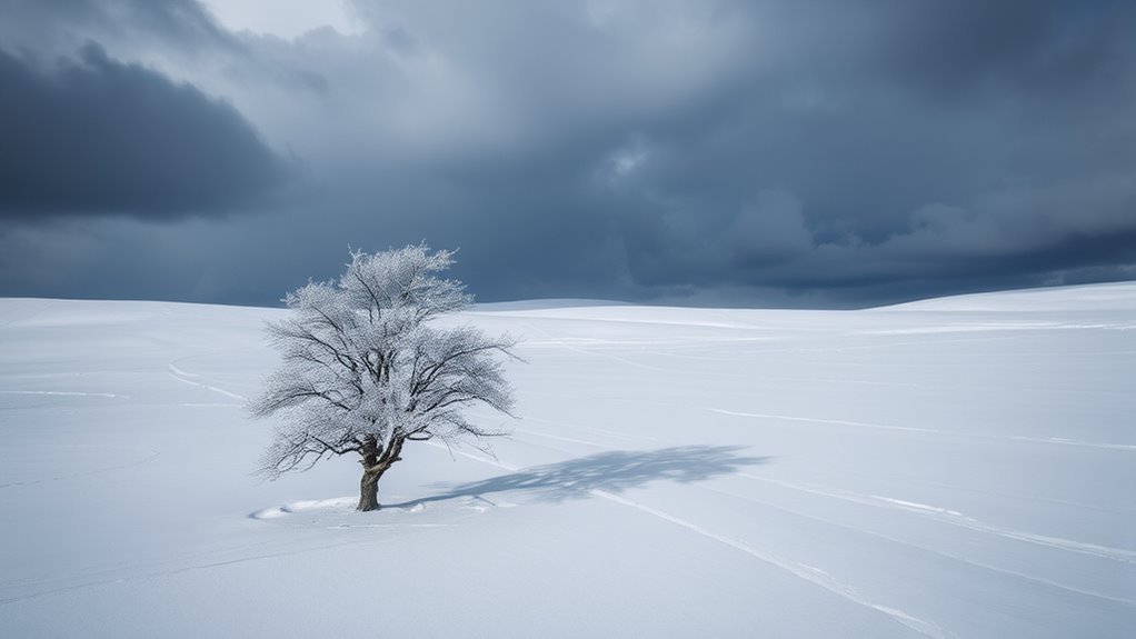
Although snow squalls can occur suddenly and with little warning, their impact on visibility can be severe and dangerous. These intense bursts of snow can reduce visibility to near-zero in a matter of minutes, creating hazardous conditions for drivers and pedestrians.
The rapid onset of heavy snowfall, often accompanied by strong winds, can lead to whiteout conditions, making it difficult to see the road or surrounding obstacles.
Drivers caught in a snow squall may struggle to maintain control of their vehicles, as road surfaces can become slick and treacherous almost instantaneously. This lack of visibility complicates navigation and increases the likelihood of accidents.
Furthermore, the unpredictable nature of snow squalls adds to their danger; one moment the weather may seem manageable, while the next, conditions can deteriorate dramatically. Awareness of these visibility issues is essential for safety during winter weather events.
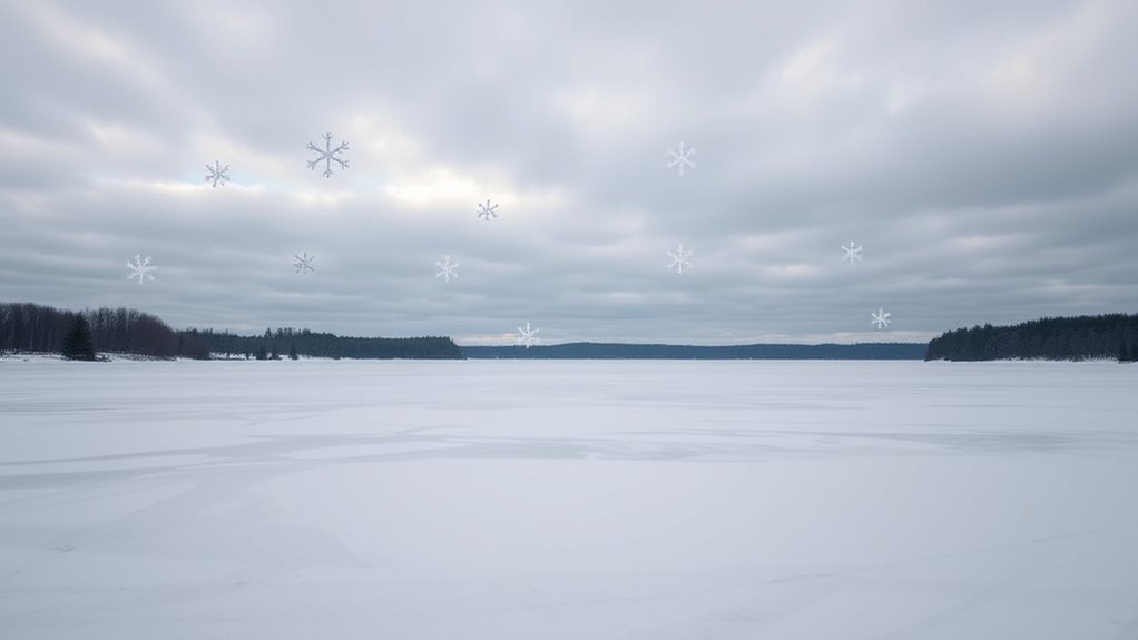
Impact of Lake Effect Snow on Visibility
As lake effect snow descends, it can considerably reduce visibility, creating hazardous conditions similar to those experienced during snow squalls. This phenomenon occurs when cold air moves over warmer lake waters, causing moisture to evaporate and then fall as snow.
The localized nature of lake effect snow can lead to sudden and intense snowfall, which can quickly obscure road signs, landmarks, and other visual cues vital for safe navigation. Visibility can drop to mere feet in these scenarios, making driving particularly risky.
Additionally, the variability in snow intensity can contribute to a disorienting experience for those caught in its path. Areas just outside the lake effect zone may experience clear conditions, further complicating awareness for travelers.
As a result, understanding the impact of lake effect snow on visibility is essential for anticipating and responding to these dangerous weather events effectively.
Safety Tips for Traveling in Snow Events
Traveling during snow events presents numerous challenges, particularly when visibility is compromised by conditions such as lake effect snow or snow squalls.
Drivers should prioritize safety by ensuring their vehicles are winter-ready, equipped with appropriate tires, windshield wipers, and antifreeze. Maintaining a safe distance from other vehicles is essential, as stopping distances can increase considerably on slick roads.
It is advisable to reduce speed and use low-beam headlights to improve visibility. Keeping emergency supplies, including blankets, food, and a first-aid kit, can be lifesaving in case of unexpected delays.
Additionally, travelers should stay informed about weather conditions and road closures, adjusting plans as necessary. If conditions become too severe, finding a safe place to pull over and wait for the weather to improve is often the best option.
Adhering to these tips can greatly reduce risks associated with traveling during snow events.
Common Questions
Can Snow Squalls Occur in Warmer Climates?
Snow squalls can indeed occur in warmer climates, although they are less common. These sudden, intense snow events arise from specific atmospheric conditions, which can occasionally manifest even in regions typically defined by milder winter weather.
How Long Do Lake Effect Snow Events Typically Last?
Lake effect snow events typically last several hours, often occurring in bursts. The duration can vary based on atmospheric conditions and geographical factors, leading to localized, intense snowfall that markedly impacts visibility and travel conditions.
Are Snow Squalls Predictable in Advance?
Snow squalls are generally less predictable than other weather phenomena. Their sudden onset and intensity can vary, making advance warnings challenging. Meteorologists rely on real-time data, but forecasts may still have limitations in accuracy.
What Are the Best Apps for Tracking Snow Conditions?
Various apps excel in tracking snow conditions, including Weather Underground, AccuWeather, and NOAA Weather Radar. These platforms provide real-time updates, forecasts, and alerts, helping users prepare for changing weather and potential snow-related hazards effectively.
Do Snow Squalls Produce Thunder and Lightning?
Snow squalls can occasionally produce thunder and lightning, though this phenomenon is relatively rare. The intense, short-lived nature of snow squalls contrasts with typical winter storms, which are more likely to generate thunder and lightning activity.