
Meteorologists identify squall threats before they develop by employing radar technology and satellite imagery to monitor atmospheric conditions in real-time. They analyze temperature, humidity, and pressure to assess stability and detect potential instability through tools like the lifted index. Advanced weather models, utilizing numerical predictions and ensemble forecasting, improve their ability to forecast storms. Collaboration with local agencies and community engagement further strengthens preparedness efforts. Discover more about the specific technologies and techniques used in this critical process.
Main Points
- Meteorologists utilize Doppler radar to detect wind changes and storm rotation, providing real-time data on developing squall lines.
- Advanced weather models analyze extensive meteorological data to predict conditions favorable for squall formation.
- Satellite imagery helps visualize cloud formation and moisture levels, aiding in the early identification of potential squall threats.
- The lifted index and temperature lapse rate are assessed to determine atmospheric instability, indicating possible squall line development.
- Collaboration with local agencies enhances information sharing, improving the accuracy of predictions and timely community alerts.
Understanding Squall Lines and Their Formation
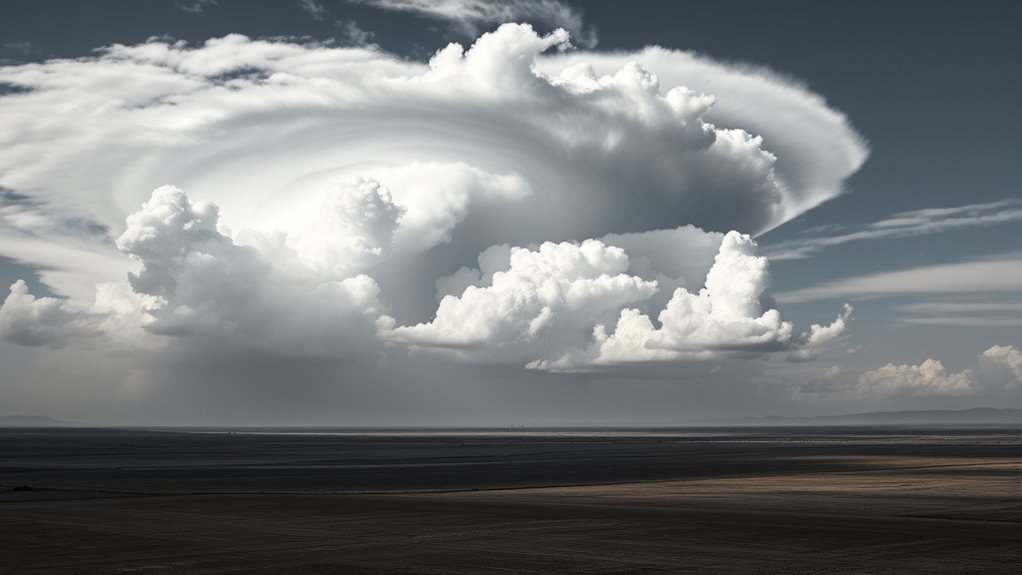
Although often mistaken for ordinary thunderstorms, squall lines are unique weather phenomena defined by a narrow band of intense storms. These formations typically occur ahead of a cold front and are distinguished by strong winds, heavy rain, and sometimes hail.
The formation of a squall line begins when warm, moist air is lifted over cooler air, creating instability in the atmosphere. This instability leads to the development of cumulonimbus clouds, which can rapidly intensify, resulting in a line of severe weather.
The organization of these storms in a linear fashion allows them to propagate while maintaining their intensity. As the squall line progresses, it can produce damaging winds and sudden changes in weather conditions.
Understanding the dynamics of squall lines is critical for meteorologists, as these systems can pose considerable risks to life and property, necessitating timely warnings and preparedness measures.
The Role of Radar in Detecting Squall Threats
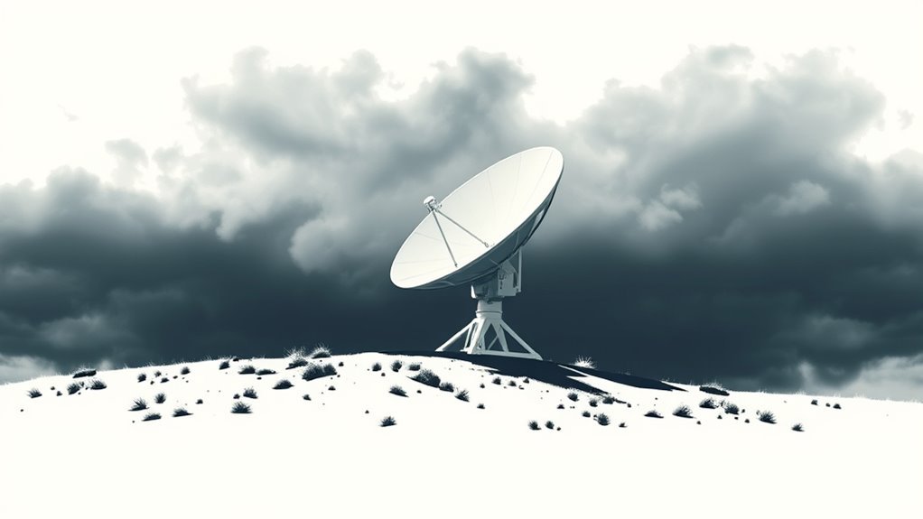
Radar technology plays an essential role in detecting squall threats by providing real-time data on atmospheric conditions.
It identifies key signatures associated with squall lines, allowing meteorologists to assess potential dangers.
Radar Technology Basics
The elaborate dance of atmospheric conditions often leads to the formation of squalls, necessitating reliable detection methods.
Radar technology plays a significant role in this process by providing meteorologists with real-time data on precipitation, wind patterns, and storm movements. Doppler radar, in particular, is instrumental in detecting changes in velocity and rotation within storm systems.
This technology emits radio waves that bounce off precipitation particles, allowing for the analysis of storm structure and intensity. By interpreting radar imagery, meteorologists can ascertain the development of squall lines and other severe weather phenomena.
The ability to monitor these conditions continuously guarantees timely alerts, enhancing public safety and preparedness as squalls approach. Consequently, radar serves as an indispensable tool in modern meteorological practices.
Identifying Key Signatures
Reliable identification of key signatures in squall threats is vital for effective weather forecasting. Meteorologists utilize advanced radar technology to detect significant indicators of impending squall lines, such as velocity couplets and reflectivity patterns.
These signatures often manifest as a rapid increase in precipitation intensity and distinctive wind shifts, which can signal the development of severe weather. Doppler radar plays a key role, providing real-time data on storm movement and structure.
Real-time Data Analysis
Utilizing advanced radar systems, meteorologists analyze real-time data to detect squall threats with precision.
Doppler radar technology plays an essential role in identifying wind patterns and precipitation movements associated with squalls. By examining the velocity and reflectivity data, meteorologists can recognize the formation of intense wind gusts and rapidly changing atmospheric conditions.
This analysis allows for the early detection of potential squall lines, which are often defined by sharp changes in wind direction and speed. Furthermore, integration of data from multiple radar sources improves situational awareness, enabling meteorologists to issue timely warnings.
As a result, real-time data analysis greatly enhances the forecasting of squall threats, finally aiding in public safety and preparedness efforts.
Analyzing Atmospheric Conditions for Early Warnings
Analyzing atmospheric conditions is essential for issuing early warnings about potential squall threats.
Key indicators of atmospheric instability, along with wind shear analysis, provide significant perspectives into the likelihood of severe weather events.
Understanding these factors helps meteorologists anticipate changes in weather patterns that could lead to squalls.
Atmospheric Instability Indicators
A variety of atmospheric instability indicators play an essential role in forecasting squall threats. Meteorologists analyze parameters such as temperature, humidity, and pressure to determine the potential for instability in the atmosphere.
A notable indicator is the temperature lapse rate, where a steep decrease in temperature with altitude suggests increased instability. In addition, the presence of moist air at lower levels combined with dry air aloft improves convective activity.
The lifted index, which quantifies the stability of the atmosphere, is another vital metric; negative values indicate instability conducive to squall development.
Additionally, forecasters utilize satellite imagery and radar data to monitor cloud formation and moisture levels, providing more insight into imminent squall risks and enabling timely warnings for affected areas.
Wind Shear Analysis
Wind shear, a critical factor in severe weather forecasting, plays a noteworthy role in the development of squall lines. It refers to the change in wind speed and direction with altitude, which can greatly influence storm behavior.
Meteorologists analyze vertical and horizontal wind profiles to identify regions of strong shear, indicating potential instability. Increased wind shear can facilitate the organization of thunderstorms, leading to the formation of squall lines.
Utilizing Weather Models for Prediction
How can advanced weather models improve the prediction of squall threats? By integrating real-time data and sophisticated algorithms, these models provide meteorologists with essential understanding into atmospheric conditions conducive to squall formation.
High-resolution simulations enable forecasters to visualize potential storm development, tracking changes in temperature, humidity, and wind patterns that may lead to squalls.
Meteorologists utilize numerical weather prediction models, which analyze extensive quantities of meteorological data, to identify critical thresholds for squall activity. These models can project the likelihood of severe weather events, allowing for timely warnings.
Additionally, ensemble forecasting techniques assess various scenarios, enhancing the reliability of predictions. By continuously refining these models with updated observations, meteorologists can improve accuracy in forecasting squall threats, eventually aiding in public safety and preparedness.
The effective use of weather models is a cornerstone in anticipating and mitigating the impacts of squall conditions.
The Importance of Satellite Imagery
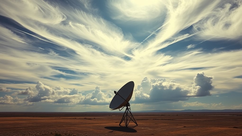
Satellite imagery plays an essential role in the monitoring and forecasting of squall threats. This technology provides meteorologists with real-time visual data on cloud formation, movement, and atmospheric conditions. By analyzing satellite images, meteorologists can detect early signs of squall line development, such as rapidly intensifying storm cells and changes in cloud structure.
The high-resolution images capture significant information about temperature variations and moisture levels, which are critical for understanding potential squall behavior. Additionally, satellite data improves the ability to track the movement of weather systems across large geographic areas, allowing for timely warnings and alerts.
As squalls can develop rapidly, the ability to monitor conditions from space guarantees that meteorologists can respond quickly to emerging threats. This proactive approach plays an important role in safeguarding communities by providing advance notice and facilitating preparedness efforts ahead of severe weather events.
Collaboration With Local Agencies and Communities
Effective collaboration between meteorologists and local agencies is essential for enhancing community preparedness in the face of squall threats. By leveraging local knowledge and resources, meteorologists can better assess risks and communicate timely warnings to the public. This partnership cultivates a thorough approach to disaster response, guaranteeing that communities are equipped to act swiftly.
Key elements of this collaboration include:
- Information Sharing: Regular updates between meteorologists and local officials to guarantee accurate predictions and responses.
- Community Engagement: Workshops and training sessions to educate residents about squall threats and safety measures.
- Resource Allocation: Coordinating with local agencies to deploy resources effectively during severe weather events.
- Feedback Mechanisms: Establishing channels for community feedback to improve forecasting methods and response strategies.
Through these initiatives, communities can greatly mitigate the impact of squall events, eventually saving lives and property.
Advancements in Technology for Enhanced Forecasting
Recent advancements in technology have markedly transformed the environment of weather forecasting, particularly in predicting squall threats. The integration of high-resolution Doppler radar systems improves meteorologists' ability to detect rapid changes in wind patterns and precipitation. These systems provide real-time data, enabling forecasters to identify squall lines before they become severe.
Additionally, satellite technology has improved considerably, offering upgraded imagery that reveals storm development and movement. Predictive modeling software utilizes artificial intelligence and machine learning algorithms to analyze extensive datasets, enhancing the accuracy of forecasts and allowing for earlier warnings.
Mobile applications and automated alert systems have also changed how information is disseminated to the public. These tools guarantee that communities receive timely updates about potential squall threats, improving preparedness and response efforts.
As technology continues to evolve, the capacity to anticipate and respond to squall threats will certainly improve, safeguarding lives and property.
Common Questions
How Do Squalls Differ From Regular Thunderstorms?
Squalls are intense, brief windstorms often accompanied by precipitation, differing from regular thunderstorms in their rapid onset and severity. They typically produce stronger winds and can lead to sudden, hazardous conditions unlike typical thunderstorms.
What Safety Measures Should Be Taken During a Squall?
When a squall approaches, individuals should seek shelter indoors, secure outdoor objects, avoid driving if possible, and stay informed through weather alerts. Preparedness and caution are essential for safety during these sudden, severe weather events.
How Do Meteorologists Communicate Squall Threats to the Public?
Meteorologists utilize various communication channels, including alerts, social media, and news broadcasts, to inform the public about impending squall threats. They emphasize safety measures and provide updates to guarantee communities remain prepared for severe weather conditions.
Can Squalls Occur in Winter or Only During Warm Seasons?
Squalls can indeed occur during winter months, not just in warm seasons. These sudden, intense bursts of wind and precipitation are influenced by various atmospheric conditions, demonstrating their potential to arise in colder weather as well.
What Historical Events Have Been Caused by Severe Squalls?
Severe squalls have historically caused considerable disruptions, including deadly maritime accidents, destructive wind damage to structures, and widespread transportation chaos. Notable events include the 1938 New England hurricane and the 1987 Great Storm in Europe.