
Squall lines are organized bands of thunderstorms, usually associated with cold fronts, that produce severe weather such as damaging winds and heavy rain. In contrast, regular thunderstorms are often scattered and isolated. Squall lines last longer, move faster, and deliver consistent precipitation, while regular thunderstorms provide sporadic showers. Additionally, squall lines have distinct radar signatures, appearing as elongated bands. Understanding their differences can help in preparing for severe weather and recognizing early signs of each storm type.
Main Points
- Squall lines are organized bands of thunderstorms, while regular thunderstorms are generally scattered and isolated.
- Squall lines produce consistent, heavy rain and strong winds, whereas regular thunderstorms deliver sporadic showers with variable intensity.
- Squall lines can last for hours and travel extensive distances, while individual thunderstorms typically last 30 minutes to several hours.
- Severe weather risks, such as damaging winds and heavy rainfall, are more prominent in squall lines compared to regular thunderstorms.
- Squall lines appear on radar as elongated bands of precipitation, while regular thunderstorms show isolated and sporadic signatures.
What Are Squall Lines?
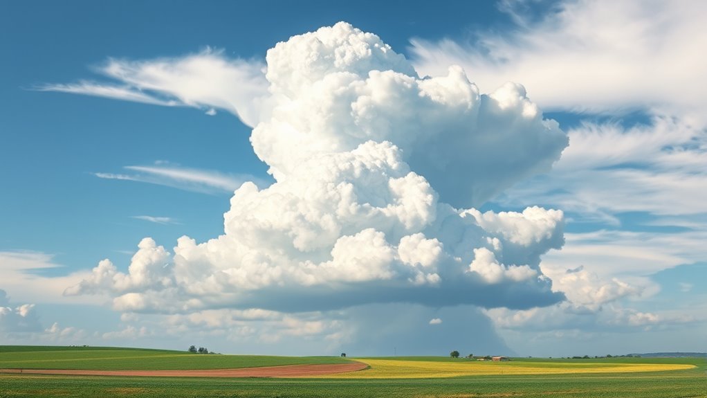
Squall lines are organized bands of thunderstorms that can produce severe weather phenomena. Typically extending for hundreds of miles, these lines are associated with a cold front and can generate strong winds, heavy rainfall, hail, and even tornadoes.
Unlike individual thunderstorms that may develop in isolation, squall lines exhibit a more structured formation, often defined by a leading edge of intense precipitation and a trailing area of less notable weather. The dynamics of squall lines arise from the convergence of warm, moist air at the surface and cooler air aloft, fueling their development.
These systems often move rapidly, impacting large areas and posing considerable risks to safety, infrastructure, and agriculture. Meteorologists monitor squall lines closely due to their potential for rapid intensification and severe weather outbreaks, making them a critical focus in weather forecasting and storm prediction efforts.
Understanding squall lines is essential for effective emergency preparedness and response.
Characteristics of Regular Thunderstorms
Regular thunderstorms typically form through the heating of moist air, which leads to the development of cumulonimbus clouds.
These storms generally have a brief duration, often lasting from 30 minutes to a couple of hours.
Understanding their formation process and lifespan is essential for distinguishing them from other weather phenomena.
Formation Process
Thunderstorms typically form through a series of distinct stages that begin with the rise of warm, moist air.
As this air ascends, it cools and condenses, forming cumulus clouds. The process continues as the clouds grow in size and develop into cumulonimbus clouds, which are defined by their towering structure.
Updrafts within the cloud can become strong, leading to the formation of precipitation. As the precipitation falls, it creates downdrafts that can improve the complete storm's intensity.
The interplay between these updrafts and downdrafts is critical for the storm's development. Eventually, the storm reaches its mature stage, marked by heavy rain, thunder, and lightning.
This dynamic process distinguishes regular thunderstorms from other weather phenomena.
Typical Duration
The lifespan of a typical thunderstorm can vary considerably, generally ranging from 30 minutes to several hours.
Most often, these storms follow a brief life cycle defined by three distinct stages: the cumulus, mature, and dissipating phases.
The cumulus stage marks the initial development, where warm, moist air rises and forms clouds.
In the mature stage, the storm reaches its peak intensity, featuring heavy rainfall, lightning, and strong winds.
Finally, the dissipating stage occurs as the storm loses energy and moisture, leading to a decrease in intensity and eventual cessation.
Factors such as atmospheric conditions, terrain, and moisture availability can influence the duration of thunderstorms, sometimes resulting in prolonged rainfall or intermittent showers even after the primary storm has weakened.
Formation and Development of Squall Lines
Although squall lines can form under various atmospheric conditions, they typically develop from the interaction of warm, moist air at the surface and cooler, drier air aloft. This process often begins with the convergence of air masses, leading to the lifting of the moist air.
As the warm air rises, it cools, condensing to form cumulonimbus clouds. The resulting thunderstorms are organized in a linear fashion, distinguishing squall lines from individual storms.
Key factors influencing the formation and development of squall lines include:
- Wind Shear: Variations in wind speed and direction with altitude improve organization.
- Instability: The degree of atmospheric instability encourages vigorous updrafts.
- Moisture Availability: Sufficient humidity at lower levels fuels cloud development.
- Topography: Geographic features may influence air flow and convergence.
- Frontal Boundaries: Meeting of warm and cold fronts often triggers squall line formation.
Duration and Movement of Thunderstorms
Storm cells exhibit varying durations and movement patterns, influenced by atmospheric conditions. Regular thunderstorms typically last from 30 minutes to several hours, depending on factors such as moisture availability and wind shear. These storms can dissipate quickly when the necessary energy is depleted, or they may linger longer if the environment remains conducive for development.
In contrast, squall lines consist of a series of thunderstorms that can persist for hours and travel extensive distances. They often move faster than individual storms, propelled by strong winds aloft. This movement leads to a continuous threat of severe weather along the line, particularly as new storms develop at the rear.
Furthermore, the direction of movement varies, with thunderstorms generally tracking along prevailing winds, while squall lines may exhibit more complex trajectories influenced by surrounding weather systems.
The interplay of these factors eventually shapes the duration and movement characteristics of these storm types.
Severe Weather Risks Associated With Squall Lines
While squall lines are known for their impressive structure and longevity, they also pose considerable severe weather risks. These organized systems of thunderstorms can lead to various hazardous conditions that threaten safety and property.
Key risks associated with squall lines include:
- Damaging Winds: Squall lines can produce straight-line winds exceeding 60 mph, causing considerable damage to structures and trees.
- Tornadoes: The rotation within squall lines can spawn tornadoes, which can be particularly destructive.
- Heavy Rainfall: Intense precipitation can result in flash flooding, especially in low-lying areas.
- Hail: Squall lines may produce large hail, which can damage vehicles, roofs, and crops.
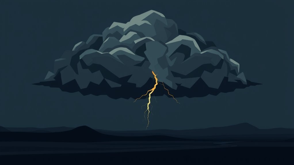
- Lightning: Frequent lightning strikes associated with squall lines increase the risk of fires and electrical outages.
Understanding these risks is essential for preparedness and response during severe weather events.
How to Prepare for Squall Lines vs. Regular Thunderstorms
Severe weather preparation varies considerably between squall lines and regular thunderstorms due to the differing intensities and associated risks.
For squall lines, which can produce damaging winds, heavy rain, and possibly tornadoes, individuals should secure outdoor items, make certain windows and doors are reinforced, and stay indoors until the storm passes. It is advisable to have a battery-operated weather radio to receive real-time updates.
In contrast, preparation for regular thunderstorms, which often involve lighter rain and less severe winds, may require less urgency. Individuals should still monitor weather alerts and move indoors if lightning or heavy rain occurs.
Keeping a basic emergency kit with essentials like water, flashlights, and first aid supplies is recommended for both types of storms.
Altogether, understanding the potential severity of each storm type will help individuals respond appropriately and guarantee their safety.
Recognizing the Signs of Each Storm Type
Recognizing the signs of squall lines and thunderstorms is essential for effective weather preparedness.
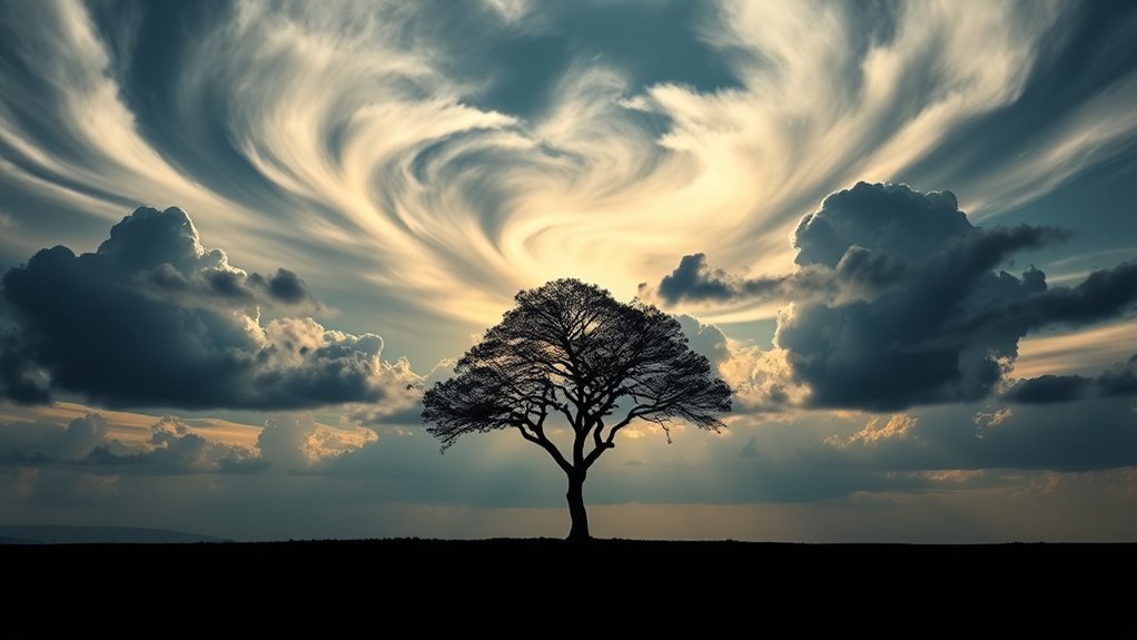
Visual indicators, such as cloud formations and lightning patterns, can offer immediate clues about the type of storm approaching.
Additionally, understanding radar signature differences helps in accurately identifying and responding to each storm type.
Visual Indicators of Storms
Visual cues play an essential role in differentiating between squall lines and thunderstorms. Observers can identify key characteristics that signal the type of storm approaching. Squall lines typically present a more organized and elongated formation, while regular thunderstorms often appear more scattered and isolated.
Key visual indicators include:
- Cloud Structure: Squall lines exhibit a continuous band of clouds, while thunderstorms present as isolated cumulus clouds.
- Rainfall Patterns: Squall lines deliver consistent, heavy rain; thunderstorms may produce sporadic showers.
- Lighting: Squall lines often generate frequent lightning, whereas thunderstorms may have intermittent flashes.
- Wind Shifts: Sudden gusts are common with squall lines, while thunderstorms may have variable winds.
- Duration: Squall lines usually last longer than typical thunderstorms, indicating a more sustained weather system.
Radar Signature Differences
While both squall lines and thunderstorms can be detected using radar technology, their signatures reveal distinct patterns that help meteorologists differentiate between the two.
Squall lines typically present as elongated bands of precipitation, often exhibiting a continuous line of heavy rain with associated wind shear. Their radar signatures may show bowing structures, indicating strong winds and potential damaging gusts.
In contrast, regular thunderstorms display more isolated and sporadic signatures, with discrete cells of precipitation. These storms often have varying intensities, making them appear more scattered on radar.
Additionally, the echo tops of squall lines are usually higher due to the organized nature of the storms, while individual thunderstorms may have lower, more erratic heights.
These differences are essential for accurate storm forecasting.
Common Questions
Can Squall Lines Occur in Winter Storms?
The occurrence of squall lines in winter storms is rare. Typically, squall lines form in warm, unstable air. Nevertheless, under certain conditions, such as strong fronts, they can occasionally manifest during winter weather events.
How Do Squall Lines Affect Local Wildlife?
Squall lines can substantially impact local wildlife by altering habitats, disrupting feeding patterns, and causing stress. Species may seek shelter, change migratory routes, or experience population fluctuations due to the harsh conditions associated with these weather phenomena.
Are Squall Lines Predictable?
Meteorologists utilize advanced technology and radar systems to monitor atmospheric conditions, making squall lines somewhat predictable. Nevertheless, their rapid development can lead to unexpected occurrences, complicating forecasting efforts and challenging the accuracy of predictions.
Can Squall Lines Produce Tornadoes?
Squall lines can indeed produce tornadoes, particularly when conditions are favorable. The presence of strong wind shear and instability in the atmosphere increases the likelihood of tornado formation within these organized linearly arranged storm systems.
What Is the Typical Size of a Squall Line?
The typical size of a squall line varies, generally extending hundreds of miles in length while remaining relatively narrow in width, often measuring between 10 to 20 miles across, making it distinct from other storm systems.