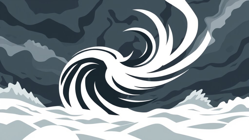
Squall winds are sudden and powerful gusts that play an important role in rapid weather shifts. They typically arise from atmospheric instability, cold front interactions, or specific topographical features. These winds can cause dramatic changes in local weather, often leading to heavy rainfall, hail, and even tornadoes. Their formation and characteristics are vital for accurate weather forecasting. Understanding squall winds can improve safety and preparedness during severe weather events, revealing more about their impacts and significance.
Main Points
- Squall winds are sudden, powerful gusts that can cause rapid changes in weather conditions, including temperature and humidity shifts.
- They often accompany thunderstorms and can lead to heavy rainfall, hail, and severe weather phenomena like tornadoes.
- The interaction of cold fronts and warm air creates sharp temperature gradients, resulting in strong, gusty winds.
- Squall lines, characterized by narrow bands of thunderstorms, produce intense winds and heavy rain over large areas.
- Effective forecasting and public awareness are crucial for mitigating risks associated with squall winds and their rapid weather impacts.
What Are Squall Winds?
Squall winds are sudden, powerful bursts of wind that often accompany a storm or severe weather conditions. These winds can appear unexpectedly, rapidly increasing in intensity and causing notable disruptions.
Typically defined by a sustained increase in wind speed of at least 16 knots (approximately 18 mph or 29 km/h) lasting for at least a minute, squall winds can lead to dangerous situations. They are commonly associated with thunderstorms, heavy rainfall, or frontal passages, and can vary in strength and duration.
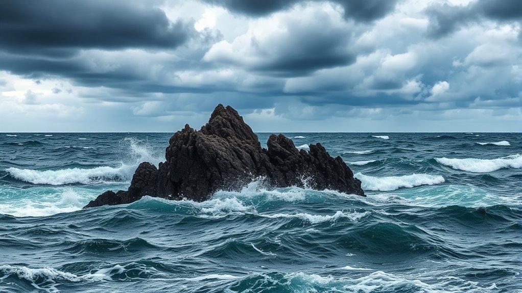
The abrupt nature of squall winds poses risks to various activities, particularly in maritime and aviation contexts. Sailors and pilots must remain vigilant, as these winds can create treacherous conditions.
Additionally, squall winds can contribute to downed trees, damaged structures, and power outages on land. Understanding squall winds is essential for preparedness and safety during severe weather events, highlighting their role in rapidly changing weather conditions.
The Formation of Squall Winds
The formation of squall winds is influenced by several key factors within the atmosphere.
Atmospheric instability, interactions with cold fronts, and topographical features all play critical roles in the development of these intense wind events.
Understanding these dynamics is essential for predicting the occurrence and behavior of squall winds.
Atmospheric Instability Factors
Atmospheric instability plays an essential role in the formation of squall winds, often driven by sharp temperature gradients and varying humidity levels.
When warm, moist air rises rapidly, it can create a notable difference in pressure between the surface and the upper atmosphere. This instability is further exacerbated by the presence of cooler, denser air nearby, which acts to displace the rising warm air.
As these contrasting air masses interact, the resulting turbulence can generate powerful downdrafts and gust fronts. Additionally, the horizontal wind shear contributes to the development of squall lines, which can lead to sudden changes in weather conditions.
Understanding these atmospheric instability factors is vital for predicting the onset and intensity of squall winds.
Cold Front Interaction
Cold fronts play a significant role in the formation of squall winds, often acting as the catalyst for intense weather changes. When a cold front advances, it displaces warmer air ahead of it, creating a steep temperature gradient.
This rapid lifting of warm, moist air leads to the development of dense cumulonimbus clouds, which are associated with thunderstorms. As the cold air pushes underneath the warm air, the pressure differential increases, resulting in strong winds.
These winds can shift direction and intensity abruptly, contributing to the sudden onset of squall conditions. The interaction between the cold front and the warm air mass not only boosts wind speed but also heightens the potential for severe weather phenomena, including heavy rainfall and lightning.
Topographical Influences
Topographical features greatly influence the formation and intensity of squall winds. Elevation changes, such as mountains and valleys, can greatly modify wind patterns. As air encounters high terrain, it is forced upward, leading to cooling and potential condensation, which may contribute to the development of storm systems.
Conversely, valleys can funnel winds, increasing their speed and intensity as they descend. Urban environments, with their buildings and infrastructure, can also create localized wind patterns, enhancing the effects of squall winds.
Additionally, bodies of water can impact temperature gradients, influencing the movement of air masses.
Characteristics of Squall Winds
Although squall winds can occur under various meteorological conditions, they are primarily defined by their sudden onset and intense nature. These winds often reach speeds exceeding 30 knots and can arise with little warning, catching both meteorologists and individuals off guard.
Typically associated with thunderstorms, squall winds are marked by a rapid shift in wind direction and velocity. They may occur as part of a squall line, which is a line of severe thunderstorms, or as isolated events.
Squall winds can lead to turbulent conditions and are often accompanied by heavy rainfall, hail, or lightning. Their short-lived yet powerful nature can create notable challenges for aviation and maritime activities.
Understanding the qualities of squall winds is essential for accurate forecasting and public safety, as they can drastically alter local weather conditions in a matter of minutes.
Impacts of Squall Winds on Weather Conditions

Squall winds greatly influence local weather conditions, often leading to rapid and dramatic changes. These strong, gusty winds typically accompany thunderstorms and can result in abrupt shifts in temperature, humidity, and atmospheric pressure.
When squall winds strike, they can instigate heavy rainfall, hail, or even severe weather phenomena such as tornadoes. The gust front created by these winds can lift warm, moist air, encouraging the development of clouds and precipitation.
Additionally, squall winds may disrupt local microclimates, causing sudden shifts from calm to turbulent weather. As squall winds move through an area, they can also lead to reduced visibility, creating hazardous conditions for transportation.
The intensity and unpredictability of squall winds necessitate timely weather warnings, as they pose risks to both life and property. Understanding their impacts is vital for effective weather forecasting and public safety measures.
Squall Lines and Their Significance

Squall lines are narrow bands of severe thunderstorms that can greatly influence weather patterns.
Defined by strong winds and rapid changes in atmospheric conditions, they form along cold fronts or within warm, moist air masses.
Understanding their formation and traits is essential for forecasting the potential impacts on local weather conditions.
Definition of Squall Lines
A squall line is a narrow band of thunderstorms that can produce severe weather, including strong winds, heavy rain, and hail. Typically extending for several hundred miles, these lines are often associated with a cold front.
They can develop rapidly and may lead to sudden weather changes, posing substantial risks to both life and property. The formation of squall lines is closely linked to atmospheric instability, and their intensity can vary widely, with some producing damaging winds exceeding 50 knots.
Recognizing the characteristics and potential hazards of squall lines is vital for meteorologists and the public alike. Their occurrence can lead to rapid shifts in weather conditions, making awareness and preparedness essential in affected areas.
Formation and Characteristics
While atmospheric conditions are essential for the development of squall lines, specific features distinguish these phenomena from other weather systems.
Squall lines typically form along cold fronts, manifesting as a narrow band of intense thunderstorms. These lines are defined by steep temperature gradients and notable wind shear, which contribute to their strength and organization.
Often, squall lines can produce severe weather conditions, including heavy rainfall, hail, and strong gusty winds. The leading edge of a squall line is marked by a sudden increase in wind speed and a rapid drop in temperature.
Additionally, the presence of a well-defined outflow boundary can intensify these lines, enhancing their potential for development. Understanding these characteristics is vital for predicting their behavior and impact on local weather.
Impact on Weather Patterns
As squall lines move through an area, they can markedly alter local weather patterns, often leading to abrupt changes in temperature and precipitation. These rapid shifts can have considerable ramifications for both the environment and human activities.
Key impacts of squall lines include:
- Intense Rainfall: Squall lines can produce heavy rain in a short period, leading to flash flooding.
- Wind Gusts: Sudden, strong winds can cause damage to structures, uproot trees, and disrupt power lines.
- Temperature Drops: The passage of a squall line often results in a sudden decrease in temperature, affecting local ecosystems and agriculture.
Understanding these effects is vital for effective weather forecasting and preparation, particularly in regions prone to squall activity.
Forecasting Squall Winds
Forecasting squall winds requires a combination of meteorological knowledge and state-of-the-art technology, given their sudden onset and potential for severe impact. Meteorologists utilize various tools, including satellite imagery, radar systems, and numerical weather prediction models, to detect conditions conducive to squall development. These systems can identify rapidly changing weather patterns that signal the approach of squalls.
Additionally, atmospheric pressure changes and wind direction shifts are closely monitored to predict the likelihood of squall formation. Sophisticated algorithms analyze historical data alongside real-time observations to improve forecasting accuracy.
Collaboration between meteorological agencies and local weather stations guarantees timely updates and alerts. Public dissemination of forecasts is essential, as squall winds can pose threats to both life and property.
Safety Measures During Squall Events
Effective safety measures during squall events are crucial for minimizing risks to life and property. Squalls can develop rapidly, often bringing strong winds, heavy rain, and sudden temperature drops. Consequently, preparation and awareness are critical.
To stay safe during these unpredictable weather phenomena, individuals should prioritize the following measures:
- Stay Informed: Monitor weather updates and alerts through local news, weather apps, or NOAA broadcasts to receive timely information about squall warnings.
- Secure Outdoor Objects: Before a squall arrives, confirm that loose items such as patio furniture, garden tools, and decorations are stored away or anchored to prevent them from becoming projectiles.
- Seek Shelter: If caught outdoors, find a sturdy building or vehicle to take refuge in, away from windows and doors, until the squall passes.
Implementing these measures can markedly improve safety and reduce the potential for harm during squall events.
Common Questions
How Do Squall Winds Differ From Regular Wind Patterns?
Squall winds typically exhibit sudden intensity and direction changes, contrasting with regular wind patterns that are more stable and gradual. This abrupt nature can lead to rapid weather shifts, affecting local atmospheric conditions considerably.
Can Squall Winds Occur in All Seasons?
Squall winds can occur in all seasons, influenced by various atmospheric conditions. These winds are not limited to specific times of the year and can emerge unexpectedly, leading to sudden changes in weather patterns regardless of season.
Are Squall Winds More Common in Certain Regions?
Squall winds are indeed more prevalent in specific regions, particularly coastal areas and places prone to severe thunderstorms. Their occurrence is influenced by local geography, temperature variations, and atmospheric instability, leading to distinct weather patterns.
What Role Do Squall Winds Play in Severe Storm Development?
Squall winds considerably contribute to severe storm development by rapidly lifting warm, moist air and creating instability in the atmosphere. This process intensifies thunderstorms, leading to increased precipitation, strong winds, and potential severe weather events.
How Long Do Squall Wind Events Typically Last?
Squall wind events typically last from a few minutes to several hours. Their duration can vary considerably depending on atmospheric conditions, terrain, and the general intensity of the associated weather systems influencing the region.